 Menu
Menu
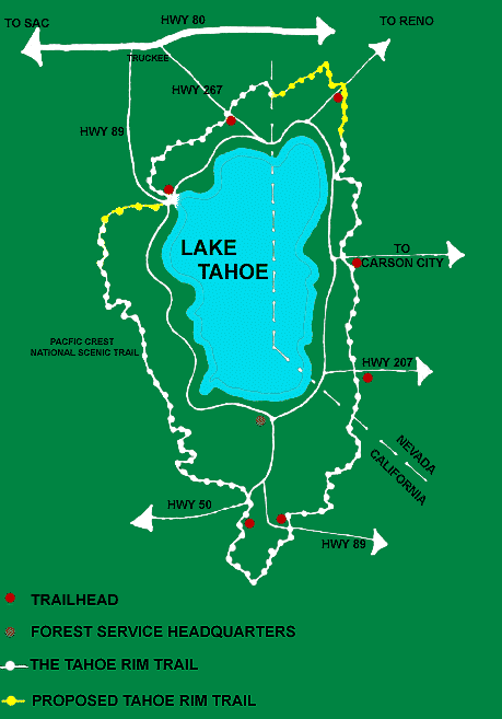
Alpine Meadows
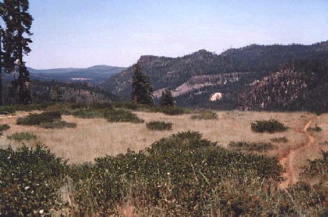
Loop Trip - Alpine Meadows/Granlibakken- This trail is a favorite, offering to get a good climb out of the way fast, scenic views of Paige Meadows, great vista views ( 42kb). of the Truckee Canyon, and several miles of lush single track.
- 13.5 Miles
- Approx. 1100 Vertical Feet
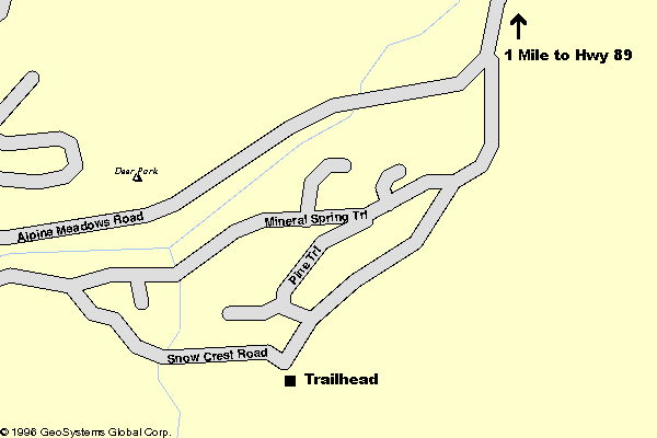
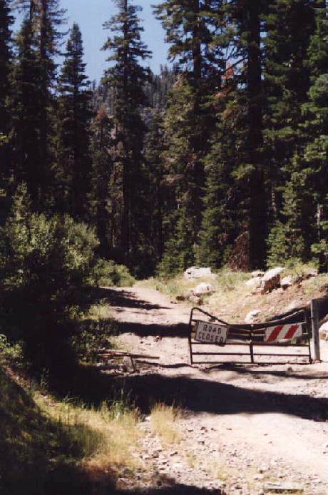
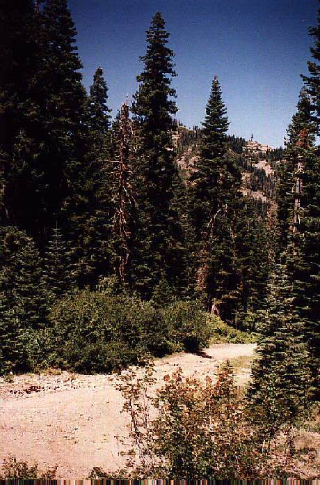
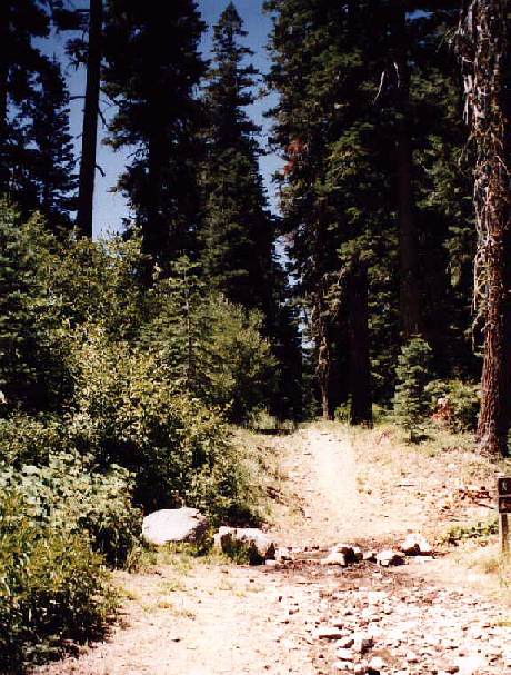
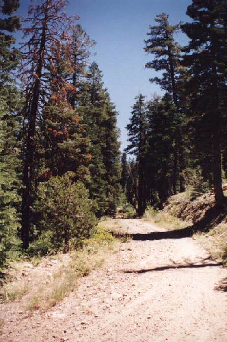
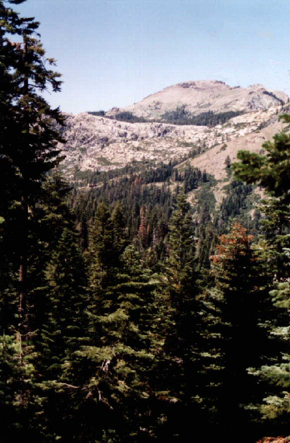
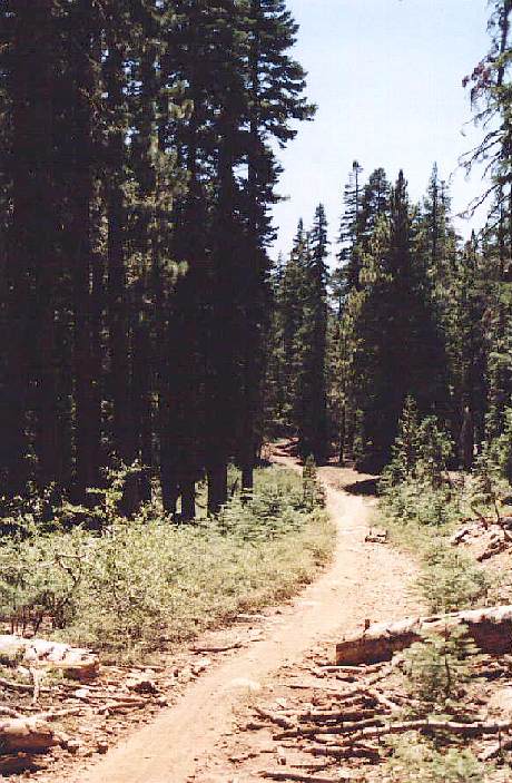
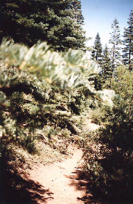
- Starting at the intersection of Alpine Meadows Road and Highway 89 bike up Alpine Meadows Road approx. 1 mile and turn left on Snow Crest Road. Follow Snow Crest Road up another 0.4 miles to a closed double track access gate. Construction of a new home has left many rocks piled around the area, but the construction material does not block access. The trail starts here ( 58kb) heading south at approx. 6470 feet in altitude. Cross the road closed gate up a double track road approx. 0.4 miles to where the double track tees into a wide single track. The kicker to the tee is now boulders due to the spring runoff and floods. The stream has carved several feet out of the stream bed which criss-crosses the 100- feet vertical, 0.1 mile horizontal kicker. The trail splits east (92kb) and west ( 74kb) at 6780 feet. Take the trail up ( 63kb) due east, the trail will level off somewhat after a 1/4 mile and bend toward the northeast ( 32kb) for another 3/4 mile before twisting toward the southwest for another mile. Enjoy the views... ( 66kb)
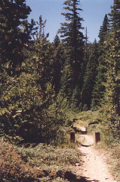
- Trail Mark 48a : At this point the trail will continue toward the southwest ( 46kb) or turn northwest( 73kb) at trail marker 48a (last trip up the sign was gone). The trail northwest leads to the Lakeview Ski Lift. You will have climbed approx. 1100 feet over 3.6 miles, about an hour's climb.
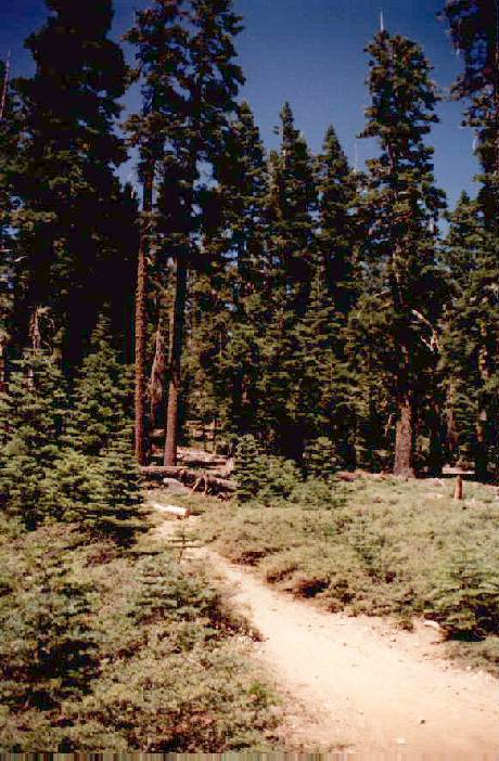
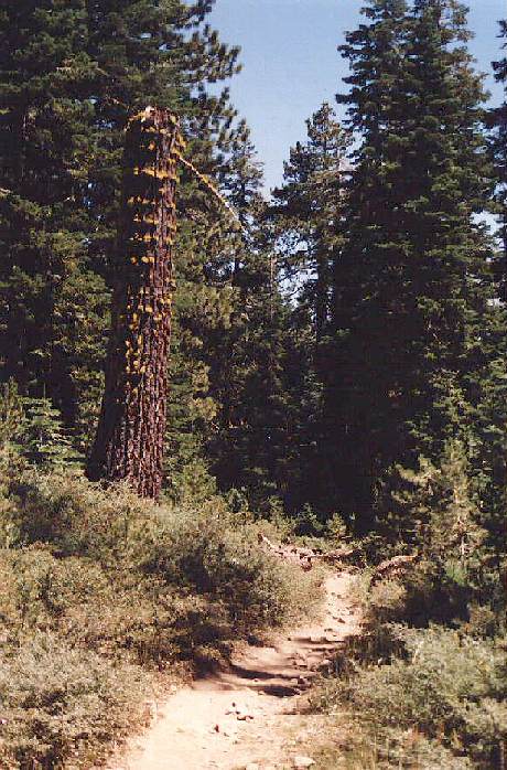
The trail to the southwest (to Granlibakken) is 4.6 miles (mostly due east), is single track flash, very few Baby Heads, with the only Rock Garden and Powder Run on the descent into Granlibakken. As you bike east ( 79kb) the trail gently loses about 300 feet of altitude during the next 3 miles around Paige Meadows. There are several Y's in the trail, stay left or straight heading east or northeast. This stretch (85kb) of single track ( 89kb) can be fun as there are very few rocky sections and plenty of opportunity for air.
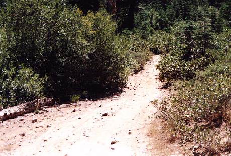
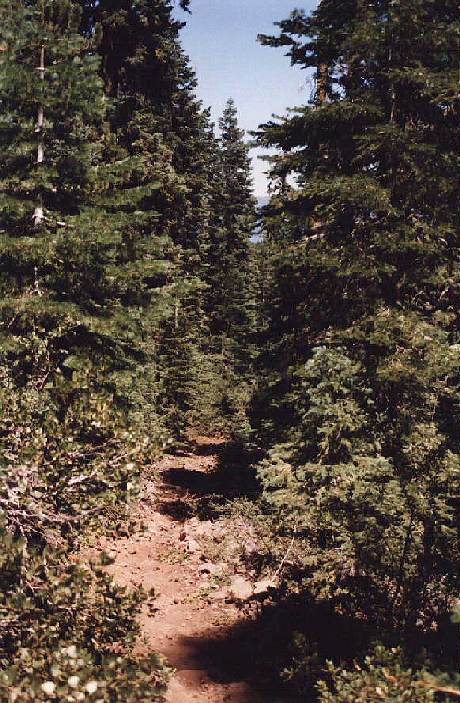
The last 1½ miles of single track ( 92kb) drops 600 feet heading first north, then northeast, and finally north. It includes a 1/2 mile stretch ( 84kb) of a somewhat steep rocky section that requires some technical skills. The descent is a powder run marked by baby heads. You will reach Granlibakken Road at approx. 8.3 miles from your start. Take the access road west to West Lake Blvd. and turn left onto the paved bike trail to 64 Acres Park. Again turn left through the park and turn left at all Y's. Cross the bridge, again turn left and approx. 3.4 miles later you will be back at River Run.
If you turn right at the 48a trail marker you will start a more advanced trail up to the Alpine Meadows Lakeview ski lift. This single track trail is very technical in places and you will have climbed an additional 1000 feet in elevation when you arrive at the lift. The Scott Chair access road down is run able except for the switchbacks and leads down toward the Weasel Ski Lift. At Weasel you can turn left to head back to Tahoe City, or turn right and follow Weasel back to the Alpine Meadows Ski Resort. Take care near the bottom, it is not steep but there are some very loose spots. When you arrive at the Alpine Ski Area take Alpine Meadows Road back down to River Run.


